
 363.34


Climate Risk Map of Armenia unveiled
7 minute read

The Central Bank of Armenia (CBA), with the support of the Asian Development Bank, has developed and made publicly available an interactive map of the country’s climate and natural hazards.
It presents different risks at the settlement level and can be used as a preliminary basis for financial, investment and spatial planning decisions.
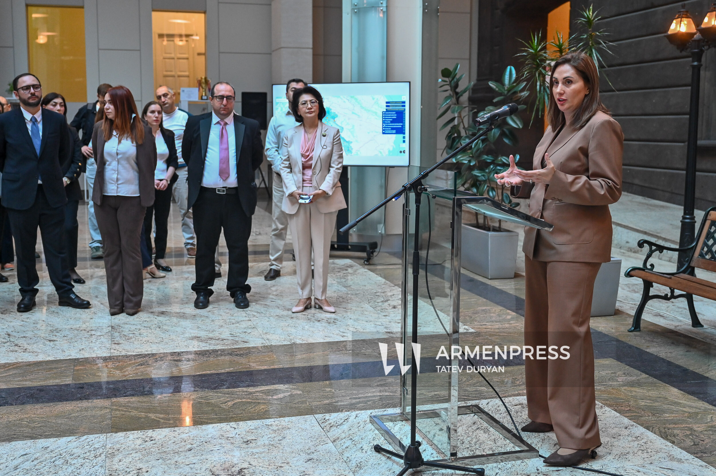
The official presentation of the “Climate Risk Map of Armenia” project took place at the Central Bank headquarters in Yerevan on September 29. Representatives of the CBA, the Asian Development Bank (ADB) and public administration bodies attended the event. The tool is available on the CBA’s official website.
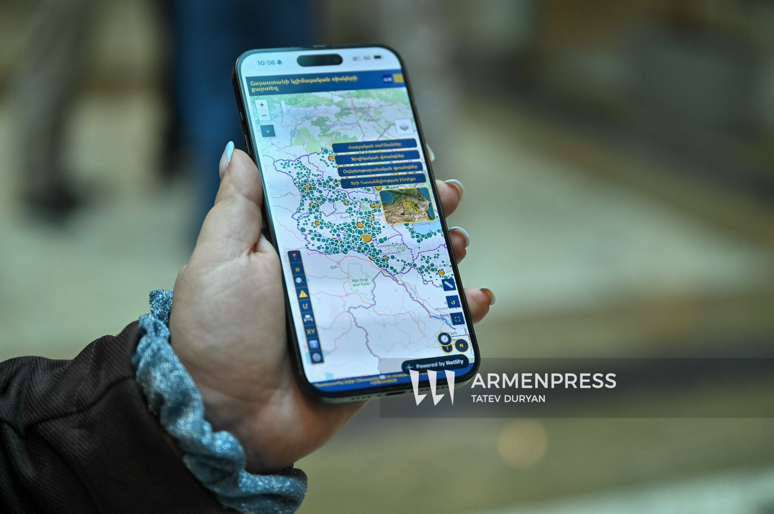
The map allows users to find an individual settlement, view the hazards associated with it, compare it with other settlements and identify areas where more in-depth study is needed. The calculation table published on the platform currently contains 1,001 entries, including the settlement name, community and province, available population data, indicators for individual hazards and a combined index.
During the presentation, CBA Board Member Artak Manukyan spoke about the economic significance of the initiative, emphasizing that the map developed with ADB financing is already available on the CBA website and has become a public tool.
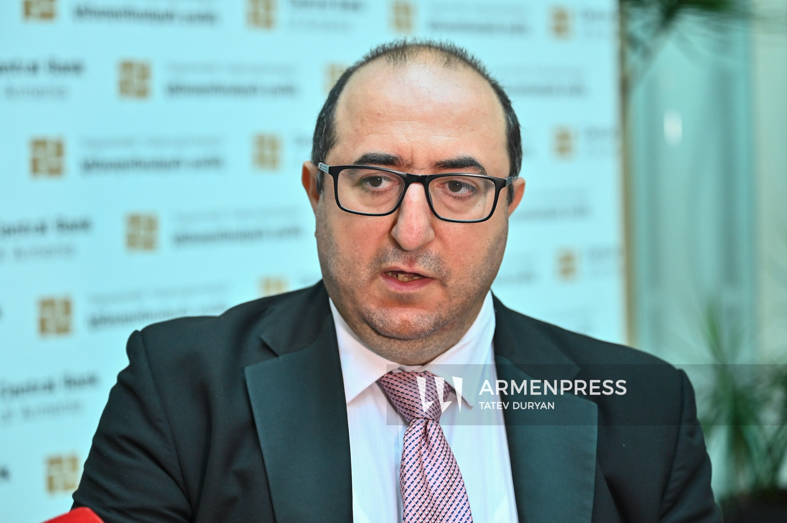
“Climate risks are increasingly turning into economic risks. We are also seeing various manifestations of these risks in our country; they are already becoming measurable indicators,” Manukyan said, adding that the CBA also attaches importance to raising awareness on this topic.
According to Manukyan, the map is the first step toward broader possibilities.
“It would be highly desirable if, based on these data, we could later also integrate buildings and structures, have certain social statistics, structural data, and age and sex data on residents, so that especially in early warning systems we can provide support more quickly and in a more targeted manner,” he said.
According to him, this is not only for lending or similar decisions. State administration bodies can also integrate these data into their decisions and prevent future risks.
ADB Armenia Country Director Lyaziza Sabyrova noted that the consequences of climate change concern not only the environment but also economic development, people’s health, financial markets and financial stability.

“We understand how important it is to make informed decisions based on data and quality analysis. Climate risks are not uniform: their nature and potential impact differ by sector and location. We are here today to strengthen the ability to assess these risks and use the information effectively,” Sabyrova said.
According to her, the tool combines spatial information, methodology and the institutional approaches necessary for its application.
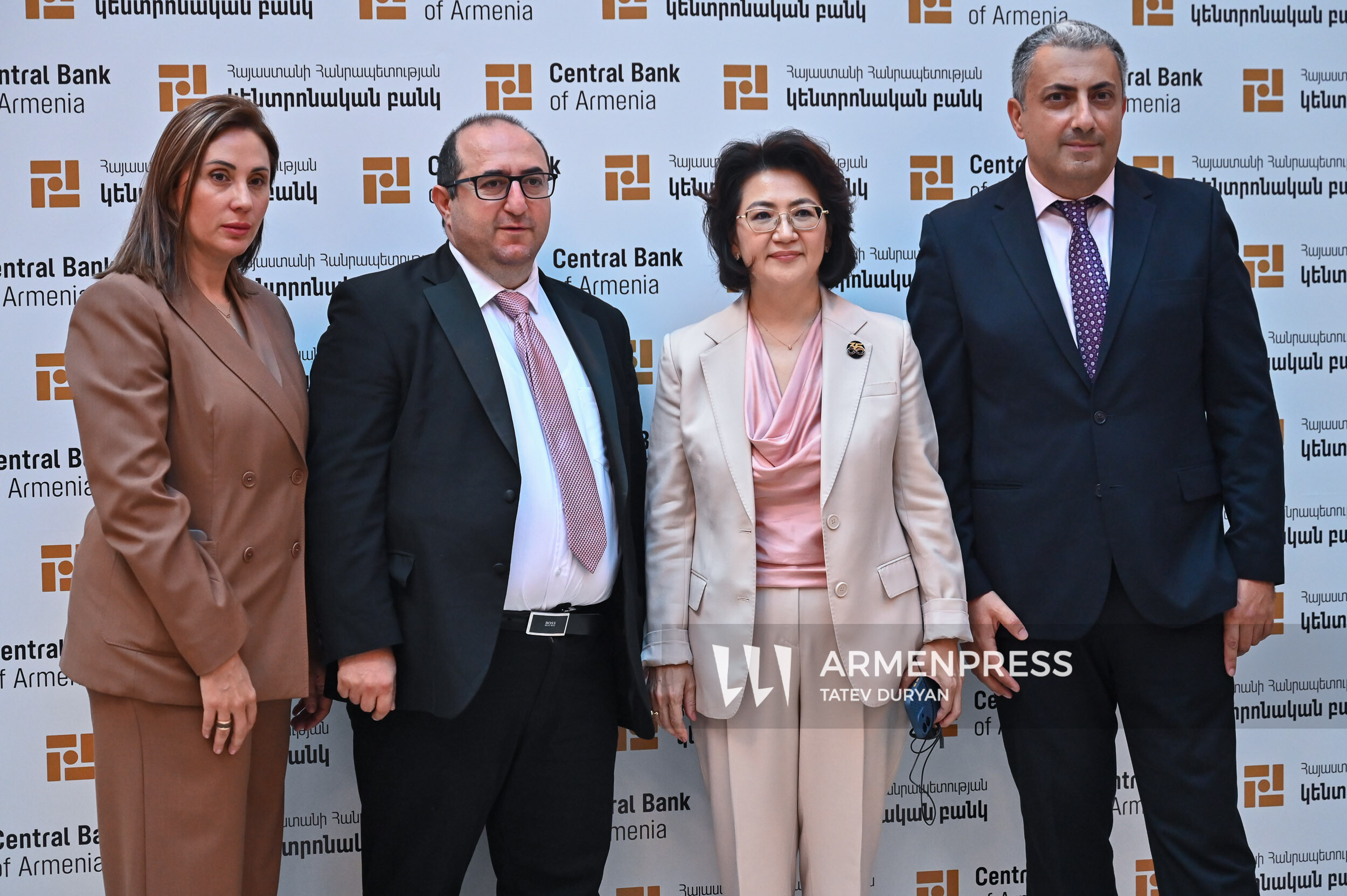
“It is more than a digital platform. And the fact that the tool has already been developed does not mean that we are stepping away: our experts will continue working with you to improve it,” Sabyrova said, emphasizing the importance of the map also being used by the private sector, civil society and the analytical community.
ADB Finance Sector Senior Project Officer Marine Nikoghosyan emphasized the practical application of the tool.
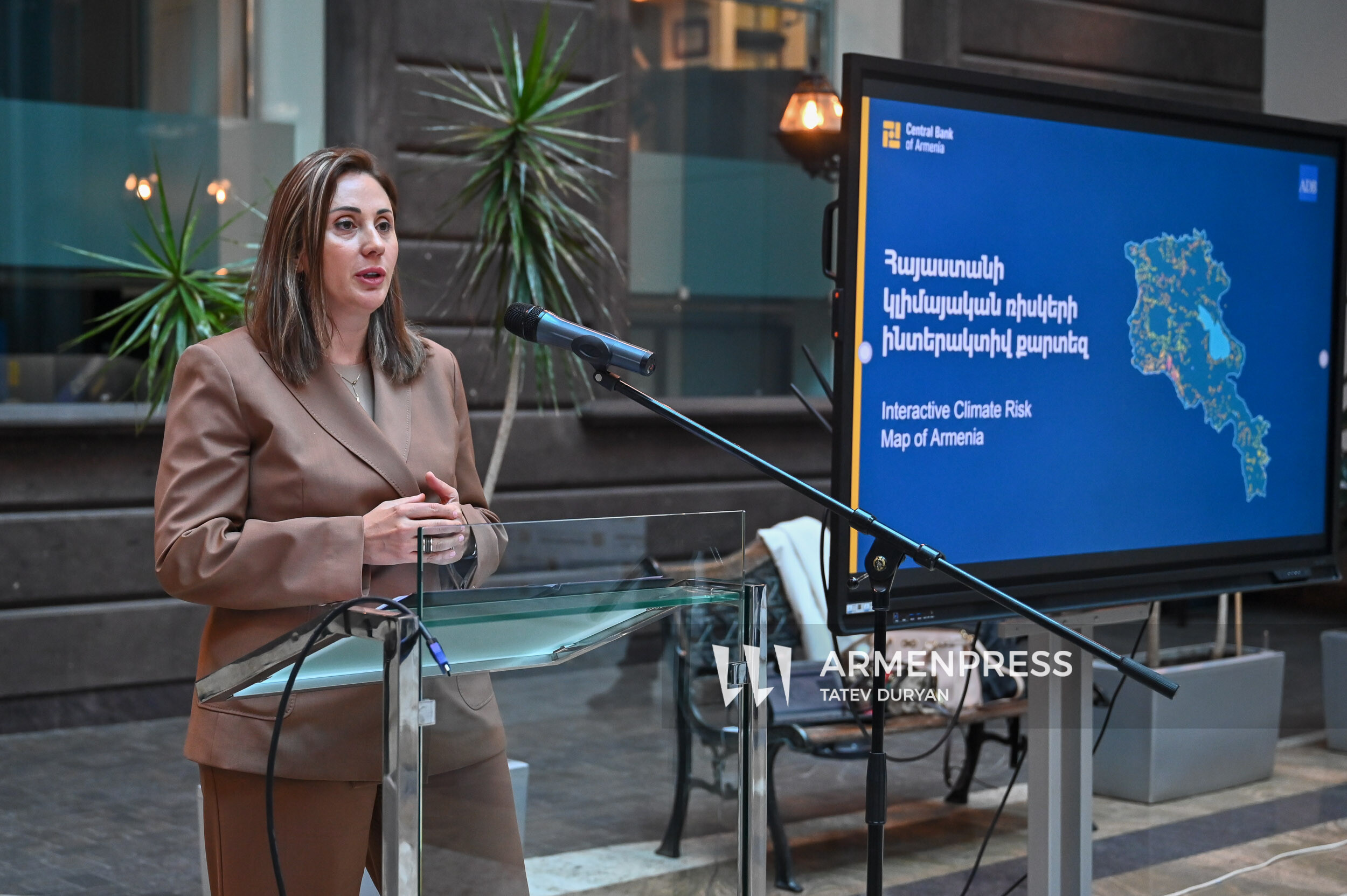
“Climate risks are very often presented in rather theoretical terms and do not become tangible. This tool makes it possible to have more concrete, clear, measurable, substantiated and comparable information,” she said.
According to Nikoghosyan, the map was developed during the initial stage, followed by assigning weights to the hazards, while in the final stage a version for use on mobile devices was also created.
“For us, the value of this work lies precisely in the comprehensive approach: it moves from the theoretical field to practical application, combining spatial analysis and official information.
At this stage, this tool should under no circumstances be considered a mandatory financial assessment guideline. It is intended as a supporting tool so that banks can have a more accurate understanding when assessing risks,” Nikoghosyan said. According to her, they aim to expand the use of the map beyond the financial system in the future.
The platform contains layers on drought, heat, floods, mudflows, landslides, hail, frost and water availability. The interactive map also allows users to separately activate layers showing flood events, actual changes in temperature and precipitation in 2011–2025, drought frequency, burned areas in 2018–2025, administrative boundaries and settlements. The different layers make it possible to see the specific hazards of a given location alongside the combined index.
According to the CBA, the map is primarily intended for financial organizations. If a bank or insurance company combines its customers’ property and portfolio data with the map, it can gain a better understanding of physical climate risks related to lending, collateral assessment, insurance and portfolio management. For example, the same economic activity may be exposed to different types of hazards in different settlements, and the map indicates where additional study is needed.
The tool can also be useful for infrastructure and spatial planning, agriculture, water resources management and research. It allows users at the preliminary stage to compare locations, discuss adaptation measures and determine in which cases local measurements or an expert assessment are necessary.